yokarrer3510/07/2023
Le portail était également fermé, nous avons dû faire demi tour.


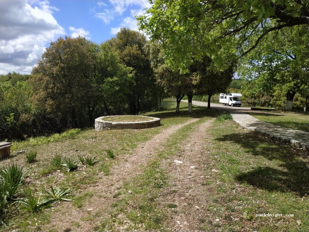
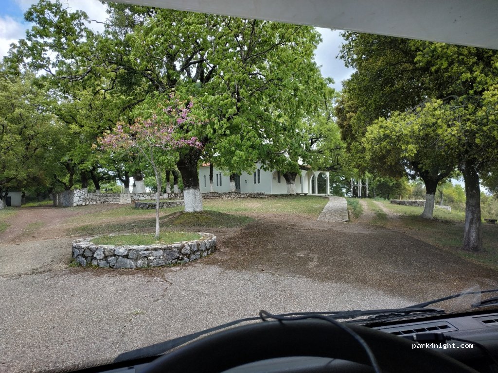
Église rurale et terrains sur une haute crête surplombant de vastes vallées luxuriantes au sud. Beaucoup d'ombre. Bon accès routier à bitume à environ 200m de la route principale. Lieu de déjeuner agréable et potentiellement une nuit agréable pour ceux qui aiment la solitude et le calme.
Rural church and grounds on a high ridge overlooking vast, lush valleys to the south. Lots of shade. Good bitumen road access about 200m from the main road. Pleasant lunch spot and potentially a pleasant night for those who like solitude and quiet.
Ländliche Kirche und Grundstück auf einem hohen Bergrücken mit Blick auf weite, üppige Täler im Süden. Viel Schatten. Guter Asphaltstraßenzugang ca. 200 m von der Hauptstraße entfernt. Angenehmer Ort zum Mittagessen und möglicherweise eine angenehme Nacht für diejenigen, die Einsamkeit und Ruhe mögen.
Iglesia rural y terrenos en una colina alta con vistas a vastos y frondosos valles al sur. Mucha sombra. Buen acceso por carretera asfaltada a unos 200m de la carretera principal. Agradable lugar para almorzar y potencialmente una agradable noche para quienes gustan de la soledad y la tranquilidad.
Chiesa e terreno rurale su un alto crinale che domina a sud vaste e lussureggianti vallate. Molta ombra. Buon accesso stradale bituminoso a circa 200 m dalla strada principale. Posto piacevole per il pranzo e potenzialmente una notte piacevole per chi ama la solitudine e la tranquillità.
Landelijke kerk en terrein op een hoge bergkam met uitzicht op uitgestrekte, weelderige valleien in het zuiden. Veel schaduw. Goede toegang tot de bitumenweg op ongeveer 200 meter van de hoofdweg. Aangename lunchplek en mogelijk een gezellige avond voor wie van eenzaamheid en rust houdt.
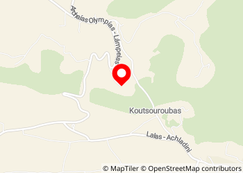
37.7319, 21.7657 (lat, lng)
N 37°43’54.8976” E 21°45’56.6424”
Eparchiaki Odos Platanou-Lambias
270 66 , Greece
Le portail était également fermé, nous avons dû faire demi tour.
Die Koordinaten scheinen nicht zu stimmen,denn Google hat uns ( von Süden kommend) einen mörderischen engen steilen Waldweg hinaufgeschickt. Nach weiterem Suchen hatten wir es dann gefunden. Es ist ein abgesperrter Bereich mit Kirche, der in jedem Land respektiert und beachtet werden sollte. Wir haben uns einen anderen Stellplatz nördlich gesucht.
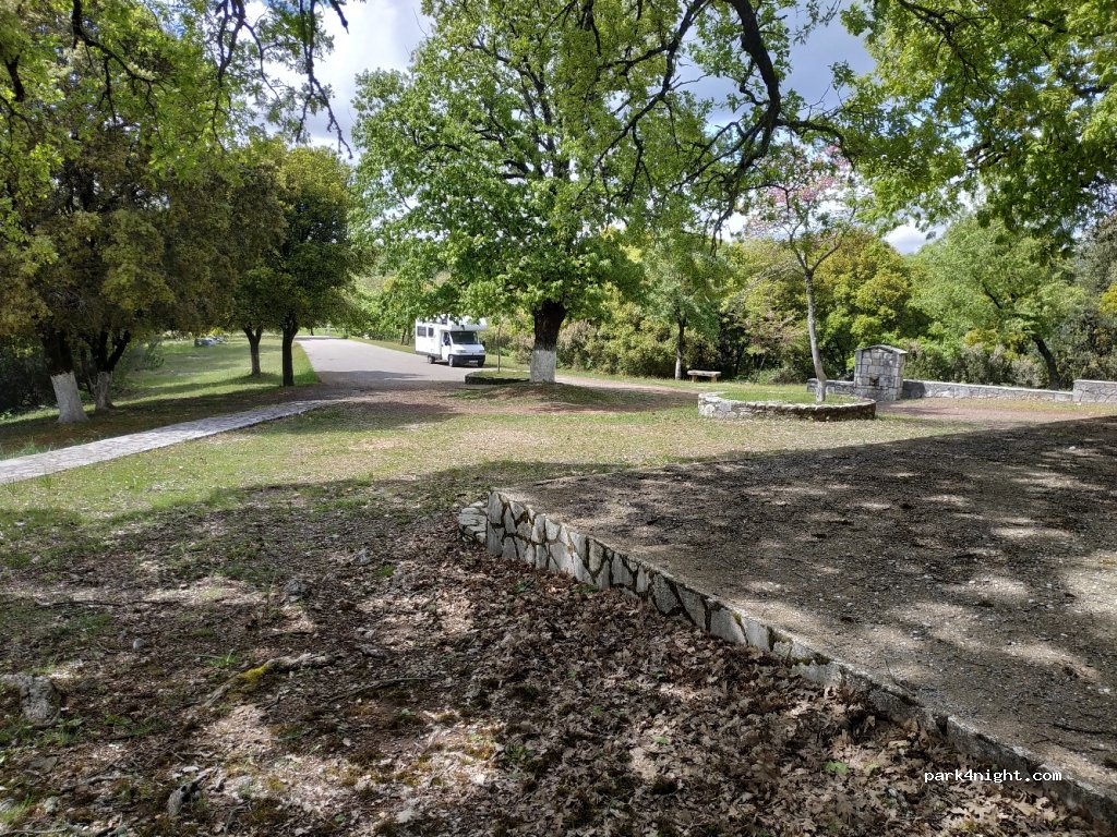
open when we came. we parked at the end between church and monument. Quiet (you can hear just a little motorbikes on the road), almost flat, good 4G, no view. very dog friendly since there's a fence all around, a door and it's very clean. there's water and (closed) toilets. do NOT empty your chemical WC here!! spent 5 days here recovering after hiking injury and it was perfect.
L'accesso alla parco e alla chiesa era chiuso da un cancello scorrevole e io non mi sono sentito libero di aprirlo, quindi siamo andati via (10/11/2021). Il luogo sembrava molto suggestivo. Peccato! Ho lasciato 3 stelle perchè forse ho sbagliato io a non aprire.
Lovely calm spot. There is a door (unlocked) to protect area from sheep and animals. Water also available.
Endroit calme même un samedi soir, nous y avons passé la nuit. Une poubelle et un point d'eau sur place. 750m d'altitude donc un peu plus frais que sur la côte. entrée du site à hauteur du virage, au niveau du grand panneau. attention aux infos du GPS, le nôtre était à la ramasse, nous avons fait un tour gratuit. Merci de respecter les lieux.